Chesapeake Mapping Initiative
The Chesapeake Mapping Initiative is intended to ensure that places important to Black Americans are better represented in historic preservation and land conservation priorities in the Chesapeake Bay region, and ultimately that more of these places are recognized and protected.
Location
Chesapeake Bay Watershed
Partners
National Park Service Chesapeake Bay; the states of Delaware, Maryland, and Virginia; and the Chesapeake Conservation Partnership
Status
Completed in 2024
Client
the National Trust for Historic Preservation African American Cultural Heritage Action Fund
Preservation Futures worked with the multi-state partnership behind the Chesapeake Mapping Initiative on three unique pilot projects in watershed areas of Delaware, Maryland, and Virginia. Each pilot project includes outreach to local communities to share information and collect feedback. The work was guided by an outside advisory committee of professionals dedicated to preserving Black history.
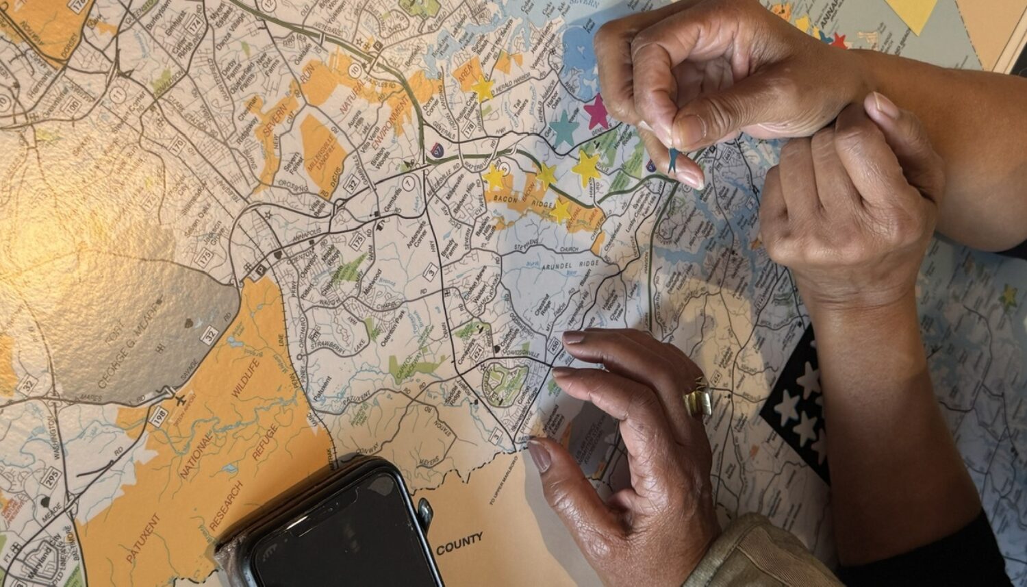
In addition to conducting in-person engagement events, Preservation Futures gathered and archived community feedback on a digital database and public-facing map interface.


The Chesapeake Mapping Initiative is intended to ensure that places important to African Americans are better represented in historic preservation and land conservation priorities in the Chesapeake Bay region, and ultimately that more of these places are recognized and protected. It will also lay the groundwork for future mapping efforts for African American historic places by assessing the effectiveness of different project approaches.
As home to some of America’s first colonies, the Chesapeake Bay watershed region has significant meaning to African American history. Many major tobacco plantations were located there, as were many stops on the Underground Railroad. It was the place where Harriet Tubman and both Frederick Douglass and his first wife were enslaved. It includes many battlegrounds of the Civil War, as well as places of notable activism in the 1960s Civil Rights Movement. Generations of Black Americans have made their living from the waters of the Bay and have also used special places along the Bay and throughout the region for recreation. But many of the places that hold the stories of African American life in the watershed are still under-recognized and undocumented by historic preservationists.
Images:
1. Crowdsourcing the map of historic sites in Anne Arundel County, MD, in Annapolis, 2024.
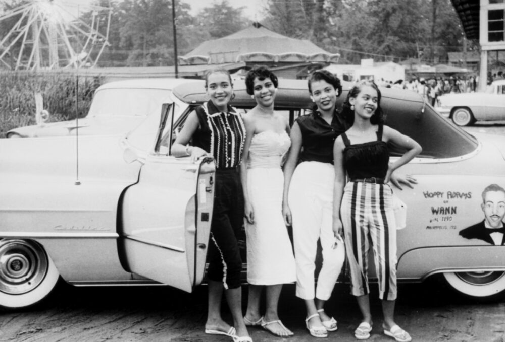
2. Four women pose outside of Carr’s Beach, MD, unknown date (WANN Radio Station, Archives Center, National Museum of American History, Smithsonian)
